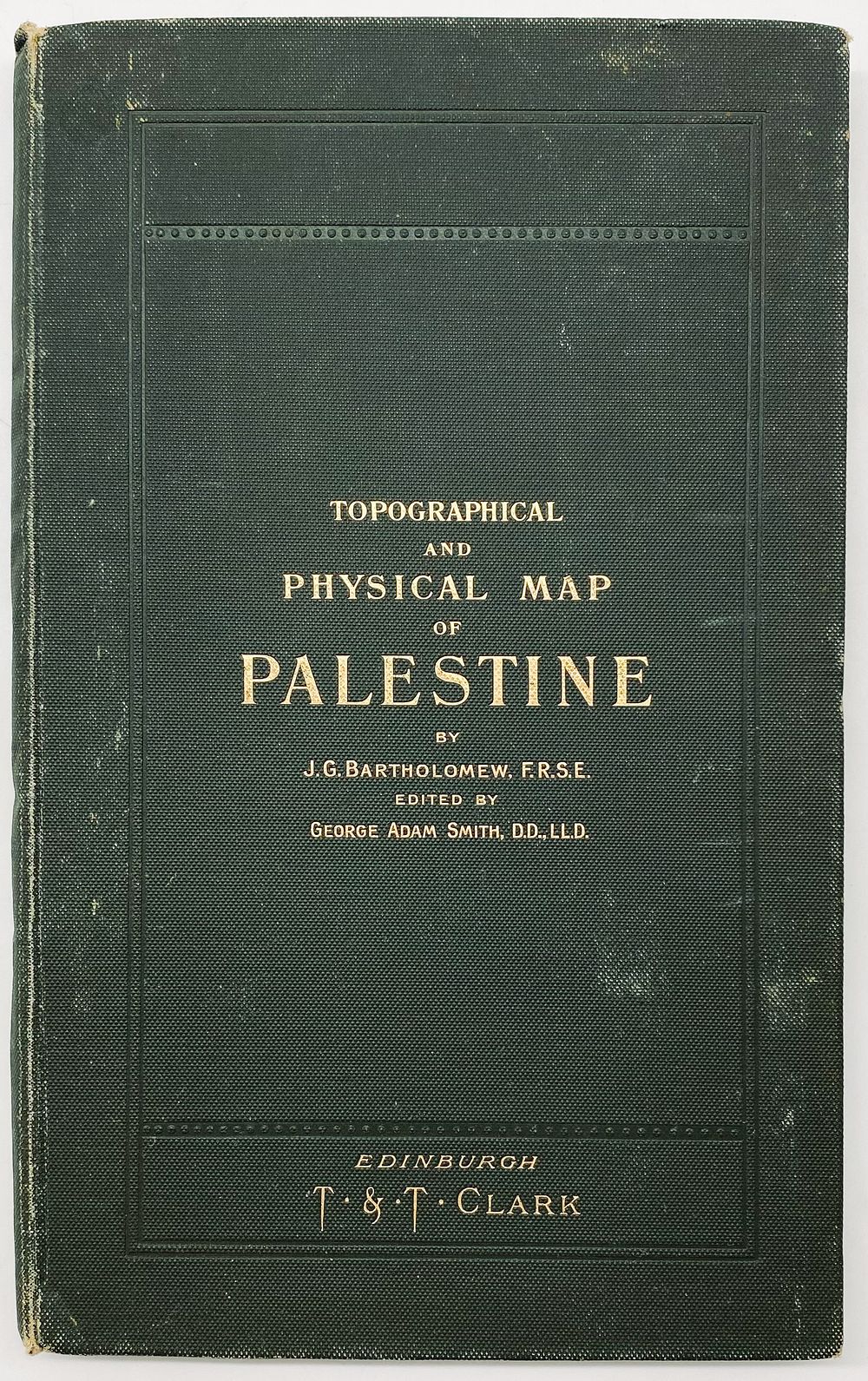
בידספיריט | מפה טופוגרפית ופיזית של ארץ
מפה טופוגרפית ופיזית של ארץ ישראל - אדינבורו, סביבות 1900 - Topographical and Physical Map of Palestine compiled from the Palestine Exploration Fund surveys and other authorities / Under the direction of J.G.Bartholomew, edited by Adam Smith. Edinburgh: T. & T. Clark, [1901]. מפת צבע ענקית, מודבקת על קנבס וכרוכה. לצידה אינדקס של המפה (14 עמ'). גודל המפה: 143X99 ס”מ. גודל הכריכה: 28X17. מצב טוב, בלאי קל.