Asta Bidspirit | 3 Official Maps of the
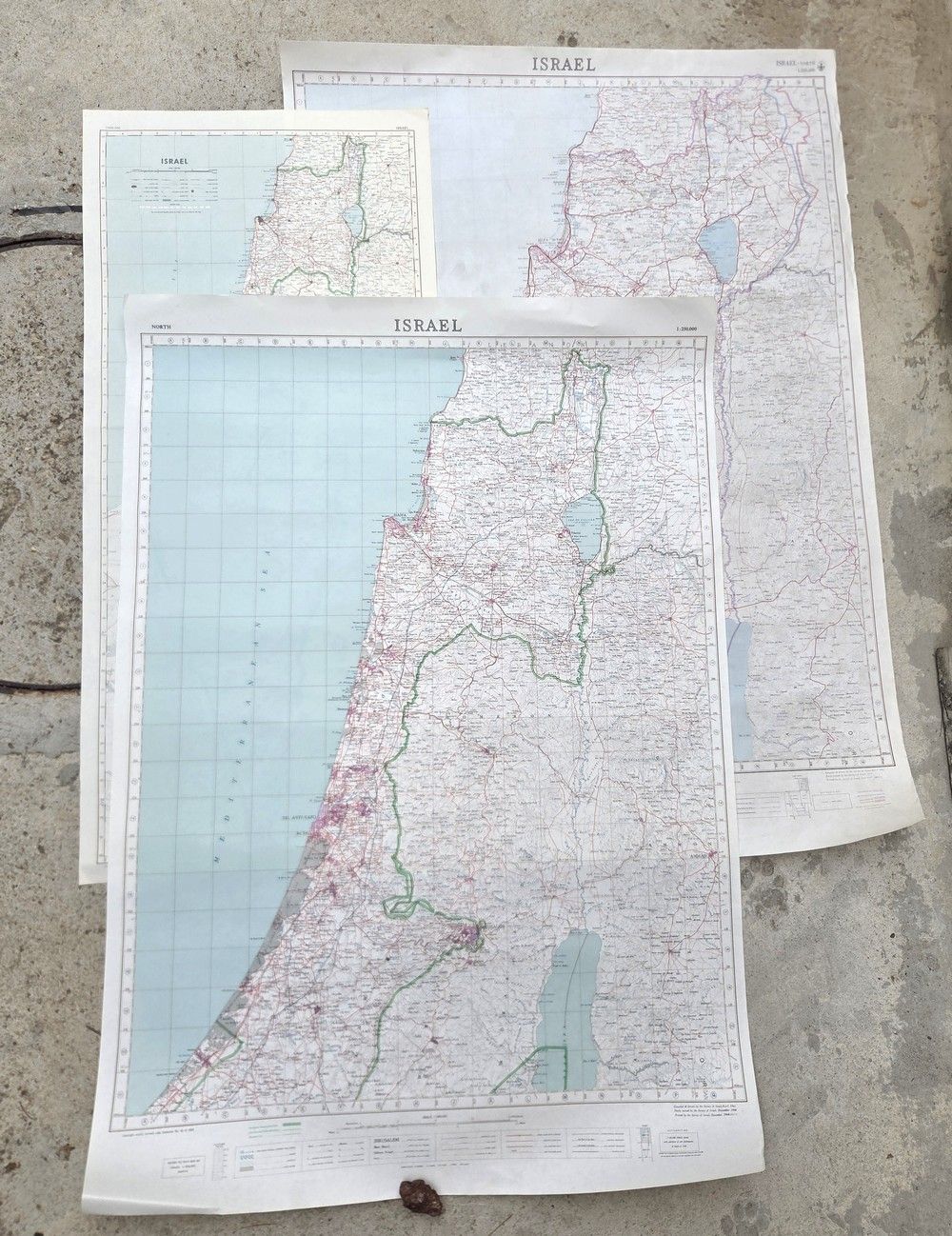
3 Official Maps of the State of Israel – Survey of Israel Editions (July 1963, December 1964, and June 1979) - An assortment of three official geographic and topographic maps of the State of Israel, presenting the country in different formats and editions from the early 1960s. Publisher: Survey of Israel (Department of Surveys, State of Israel). Scale: 1:250,000 and 1:500,000. Details of the maps in the lot and their edition differences: 1. Map of Israel 1:250,000 (July 1963 edition): A detailed topographic map from the ”Green Line” period, based on drafting and surveys from December 1962 and printed in July 1963. Depicts the central region, the Shephelah, and the northern Negev. 90×41.5 cm. 2. Map of Israel 1:250,000 (December 1964 edition): An official topographic map from the Green Line period, based on surveys of April 1961 and November 1964, printed in December 1964. Depicts in detail the distribution of settlements, armistice lines, and demilitarized zones of the 1960s. 99×68 cm. 3. Map of Israel 1:250,000 (June 1979 edition): A fascinating historical map printed in June 1979, several months after the signing of the peace agreement with Egypt. The map is based on the original surveys of April 1961 and November 1964, but was updated and reprinted in the late 1970s to serve the defense forces and government ministries of that period. 99×68 cm. In good to very good condition; the maps are printed on thick original paper. The paper is clean with light, natural yellowing characteristic of its age, without tears within the drawn map area. Colors are sharp and fully legible. Stored rolled (without heavy fold creases).