Bidspirit auction | Classified Military Map of the
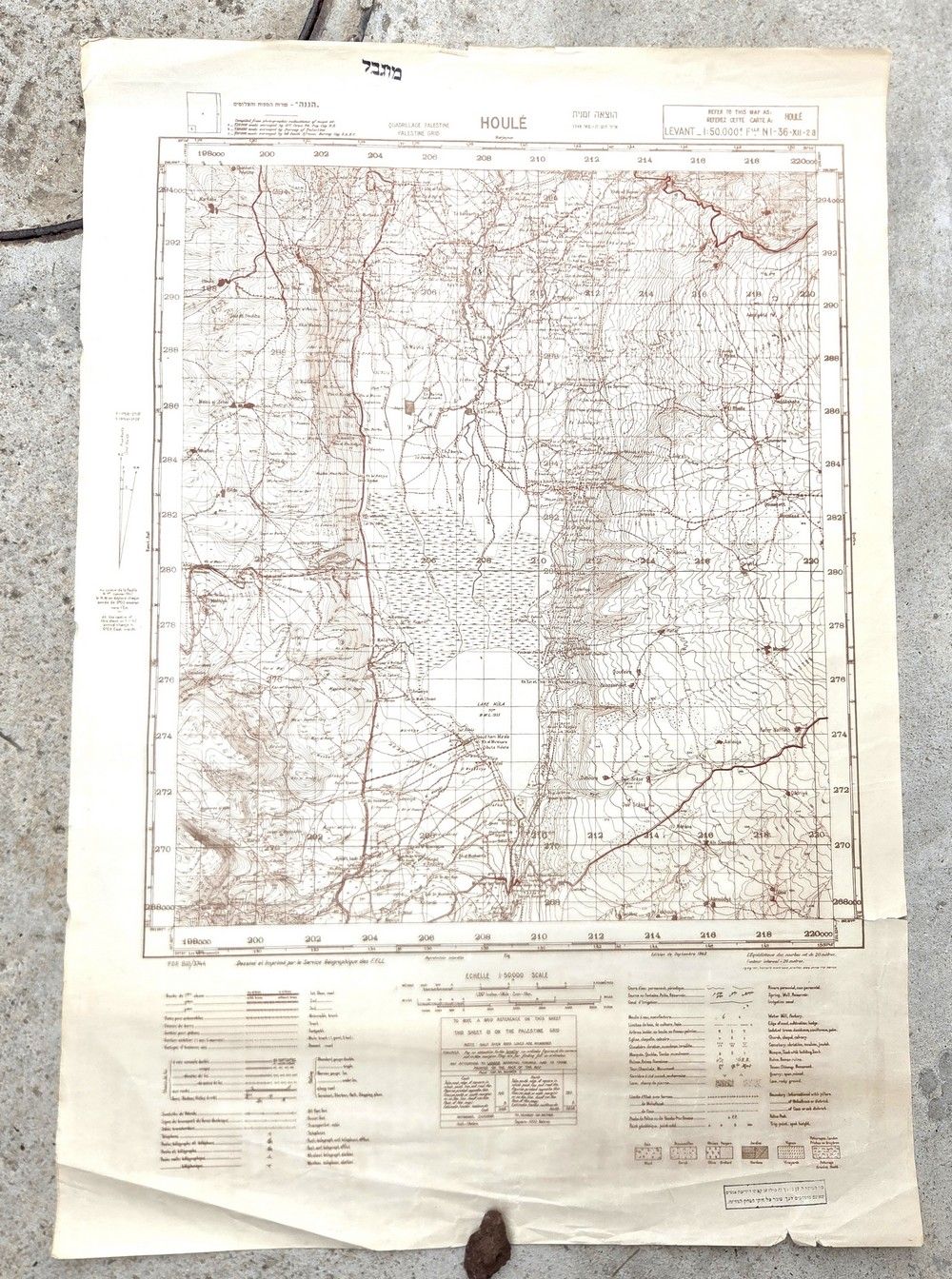
Classified Military Map of the Hula Valley – IDF Edition (June 1949) Based on Free French Forces Mapping (1942) - A classified topographic-military map of the Hula Valley (Houlé) area and the Galilee Panhandle. Publisher and press: Officially printed by the ”IDF Photography Service” in an official updated edition in June 1949, a few months after the end of the War of Independence battles. Graphic and historical origin: The map is based entirely on the original tactical mapping plates of the Geographic Service of the Free French Forces (FFLL) from September 1942. The IDF reused the precise French graphics and data, retaining the historical plate heading of the Haganah (”Provisional edition Iyar-5708 May 1948”), in order to supply urgent operational maps to field forces deployed along the Syrian border line. Scale: 1:50,000 (high tactical detail). Operational ink stamps (field security): The map bears authentic handwritten stamps from the period of operational use in the early IDF: a black classification stamp reading ”Restricted” at the head, and a field security warning stamp at the foot: ”Anyone who transfers this map to unauthorized hands…” 86×59 cm. In good condition; the paper shows light natural yellowing and light rolling/storage marks in the margins, tears and creases/folds primarily in the upper and lower margins, and a small tear in the lower right margin.