Bidspirit auction | Official Map of Northern and
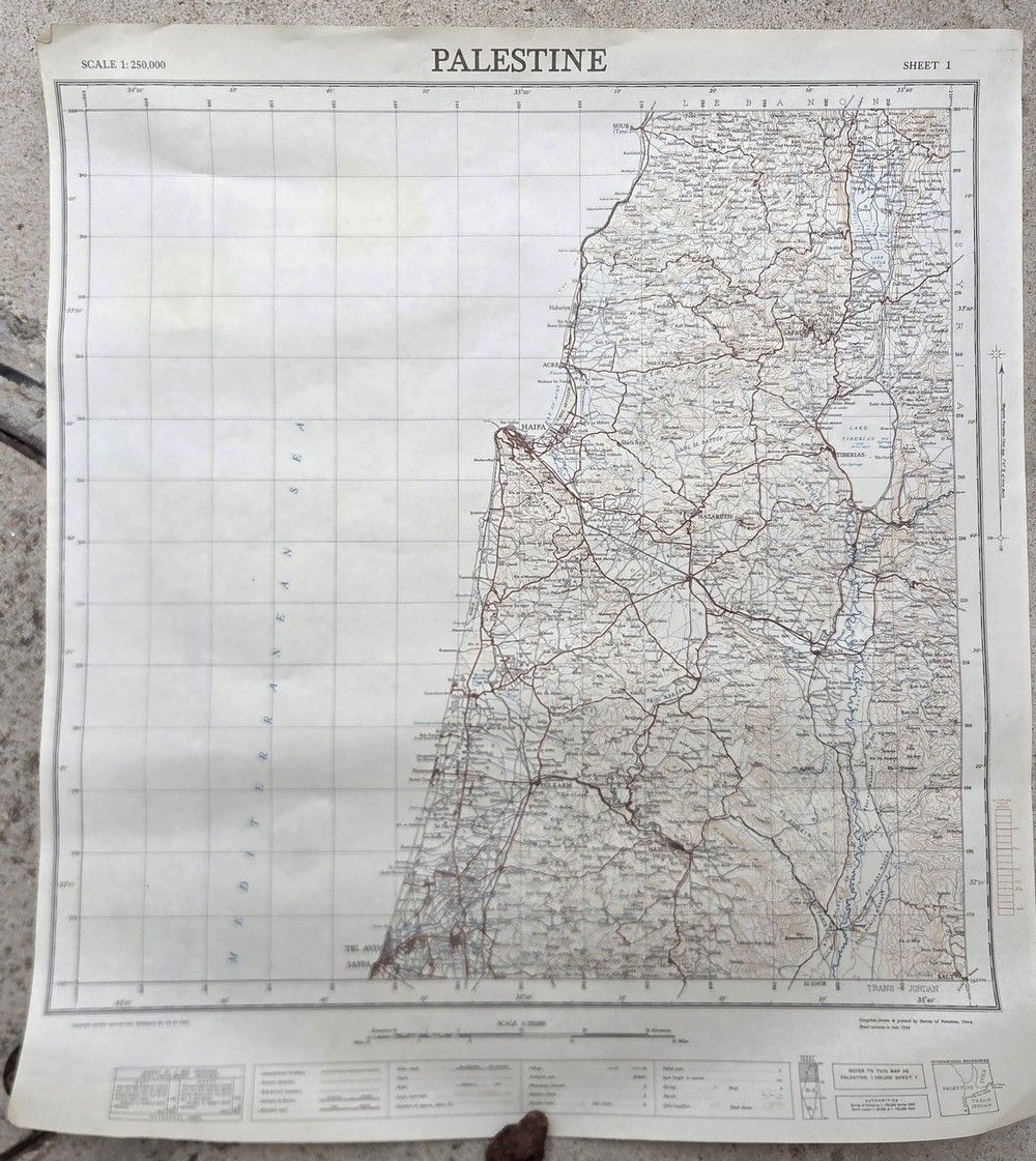
Official Map of Northern and Central Palestine – Survey of Palestine, Sheet 1, Palestine, 1944 - Official geographic and topographic map of Palestine – Sheet 1 (Northern and Central Country). Publisher / Press: Survey of Palestine, Jaffa. Date: Revised and printed July 1944 (World War II period). Scale: 1:250,000. A highly detailed map depicting all of northern and central Palestine, the Galilee, the Jezreel Valley, the Coastal Plain, Samaria, the Tel Aviv–Jaffa area, Mandatory district boundaries, and portions of Trans-Jordan and Syria. The map depicts in great detail road networks, railways, settlements (Jewish and Arab), police posts (Tegart stations), telephone lines, and full topographic graphics. A small International Boundaries diagram appears in the lower right corner. 70×63 cm. In near very good condition; the paper shows light natural yellowing and minor foxing, primarily in the outer white margins and on the verso. The central graphics, grid lines, and text are sharp, clean, and fully legible. Preserved in rolled form (no tears or severe fold creases within the map area). Stains.