Bidspirit auction | Rare Geological Map of Palestine
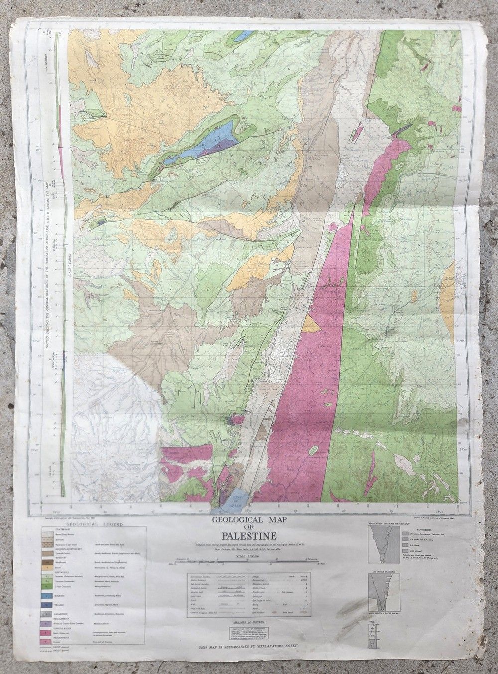
Rare Geological Map of Palestine (First Edition, 1947) – Survey of Palestine, Jaffa - Official geological map of Palestine. Publisher / printed by: Survey of Palestine, Jaffa, for the British Mandatory Government. Year: 1947 (late Mandate period). Edition: First Edition. Scale: 1:250,000. Editors and scientific sources: The map is based on the work of the prominent British government geologists G.S. Blake and S.H. Shaw, combined with data from Petroleum Development (Palestine) Ltd, and corrections made from Royal Air Force aerial photography by Major A. Glick. A large map, printed in striking colors, presenting the complex geological structure of the region (including the Negev, the Arabah, and the Syrian-African Rift). The map includes a rich Geological Legend detailing rock types, formations, and geological periods (from basement rocks to limestone formations and modern sand dunes), alongside the marking of faults and geological fault lines. In addition to the geological information, the map serves as a fascinating historical, political, and settlement document from that fateful year (1947); it presents district boundaries, railways, roads and tracks, and the names of Jewish and Arab settlements, ruins, monasteries, and sheikh's tombs. Special elements within the map: Compilation Diagram of Geology: a source diagram detailing which portions of the map are based on the research of Blake, Shaw, or the petroleum company. Air Cover Diagram: a diagram showing the aerial photographs used to update the map. Geological Section: a cross-sectional geological section presenting the soil strata (for example, in the area of Jebel er-Rishe). 89×63 cm. In good condition relative to the age of the item. The map is originally mounted on a linen backing (Linen-backed / Cloth-backed), preserving its structural integrity and preventing tears or wear along fold lines. Paper with light, natural yellowing and minor age stains. Light scorch marks / wear present along the right white margins. The defects are confined to the map's margin only and do not affect the map area, graphics, legend, or printed geological information in any way.