Asta Bidspirit | Lot of 2 Rare Classified
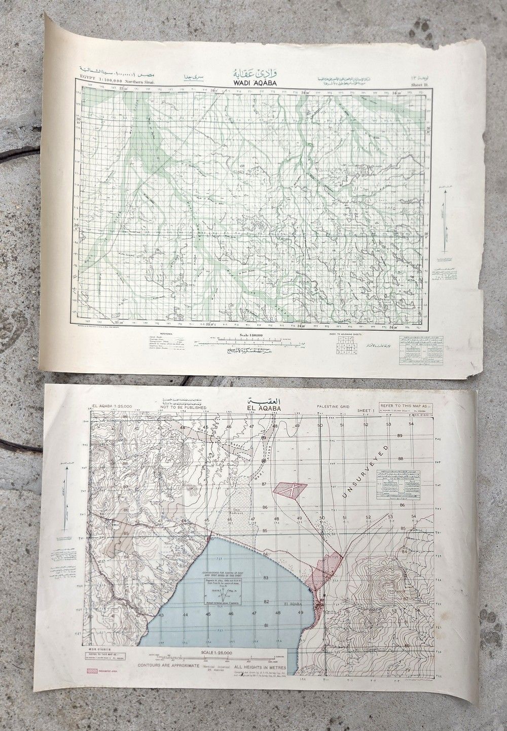
Lot of 2 Rare Classified Military Maps of the Aqaba and Sinai Region – ”Not to Be Published,” British Army, World War II (1943) - A lot of two official classified British Army topographic-military maps. Geographic area: Gulf of Aqaba (Eilat), Wadi Aqaba, and northern Sinai Peninsula (the Mandatory-Egyptian-Jordanian border triangle). Both maps are originally mounted on military linen/canvas backing (Linen-backed / Cloth-backed). In good to very good condition; paper with light natural yellowing, very light wear to the outer white margins only, no tears within the map area or damage to the graphic information. Colors sharp and clear. First map (El Aqaba): Scale 1:25,000. An exceptionally detailed tactical map depicting the Gulf of Aqaba coastline, boundary markings, Prohibited Areas marked in red, and dense topography of the surrounding mountains. Bears the official military inscription ”NOT TO BE PUBLISHED”. 58×79 cm. Second map (Wadi Aqaba / Northern Sinai): Scale 1:100,000. A broader geographic-military map depicting the roads, wadis, and topography of northern Sinai and the Wadi Aqaba region. Publisher / Unit: Drawn and printed by the British Military Survey Department (12th Field Survey Company, Royal Engineers) and reprinted by the 514th Field Survey Company. Date: May 1943 (the height of World War II in the Middle East). 58.5×75 cm.