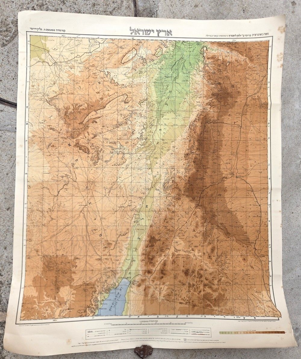
Asta Bidspirit | The First Official Hebrew Map
The First Official Hebrew Map of the Negev – ”Land of Israel, Southern Sheet”, Edited by Zalman Lifshitz, Survey of Palestine, 1947 - Geographic map, southern sheet (the Negev, the Arabah, and the Dead Sea). Editor and contributors: Edited by the Zionist engineer and land expert Zalman Lifshitz (Lif), with the participation of the historian and archaeologist Prof. Benjamin Maisler (Mazar) and Land of Israel history scholar Yitzhak Ben-Zvi (later the second President of the State of Israel). Publisher / printed by: Copied and printed by the Mandatory Survey of Palestine, Tel Aviv. Exact date: Shevat 1947 / February 1947 (late British Mandate period). Scale: 1:250,000. Historical significance: An important and rare pre-state map representing the early institutional effort of the Zionist institutions and the Yishuv to provide a historical perspective and Hebrew place names for the expanses of the southern part of the country. The sheet was published especially for the Jewish Yishuv to complete the map of the Negev, at a time when there were almost no permanent settlements south of Be'er Sheva. The map presents in detail the few settlements that existed at the time, roads, Mandatory borders, and full topography. Condition: In very good condition. The map is originally mounted on a linen backing (Linen-backed), preserving its structural integrity. Paper with light natural yellowing. Light age stains are present along the white margins and on the reverse side of the linen near the margins, with no damage or overlap with the drawn map area, graphics, or Hebrew text. Dimensions: 89×71.5 cm.