Leilão Bidspirit | Map of Palestine, Published by
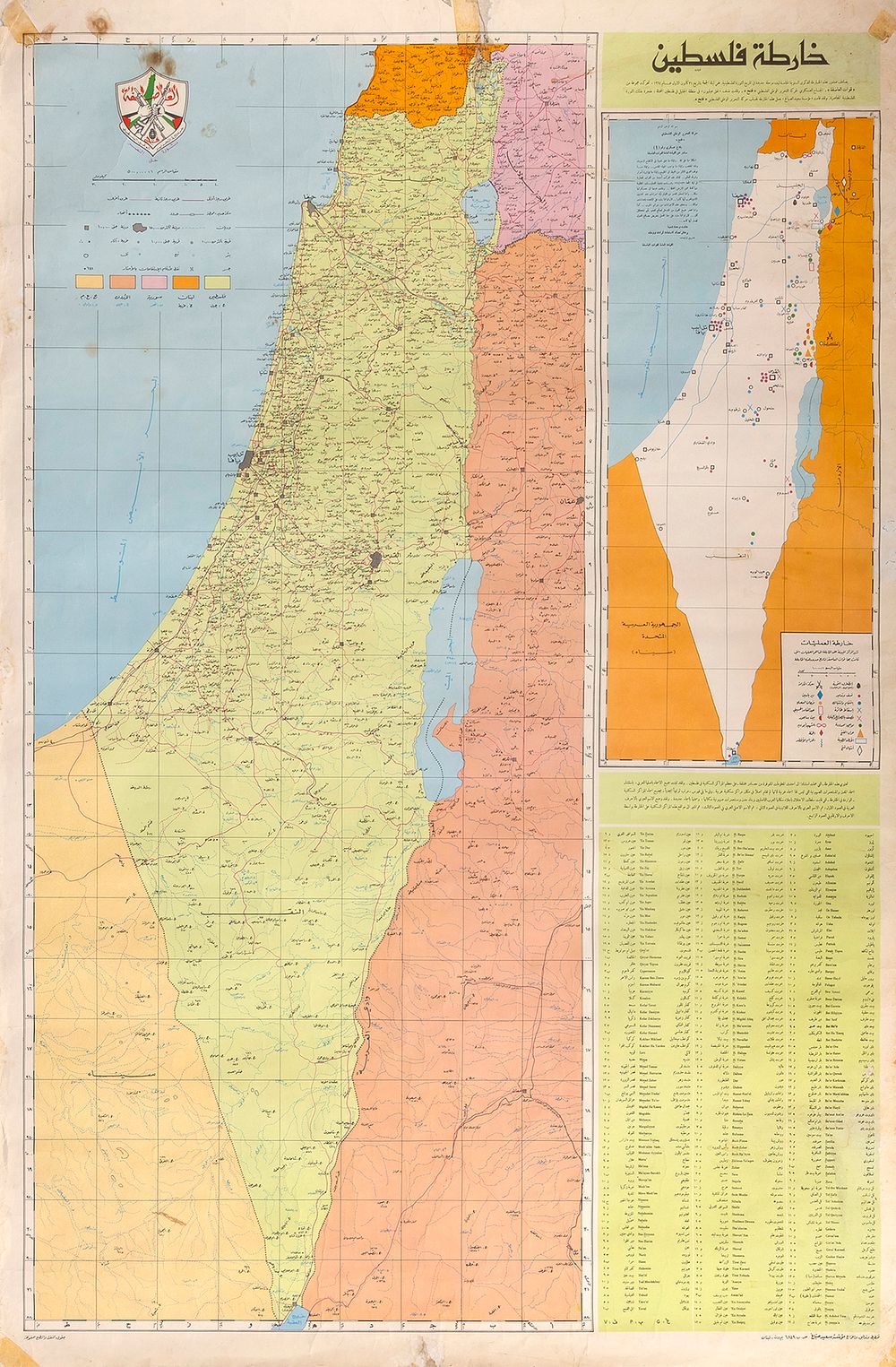
Map of Palestine, Published by the Fatah Movement – Beirut, Ca. 1969-1970 - خارطة فلسطين [Map of Palestine]. Beirut: مؤسسة سعيد الصباغ [Sa‘id al-Sabbagh Foundation], for the Palestinian National Liberation Movement – Fatah, [late 1969 or early 1970]. Wall map depicting Palestine / Eretz Israel, from the Galilee Panhandle in the north to Eilat in the south. Printed in the upper-left corner is the emblem of Fatah (حركة التحرير الوطني الفلسطيني – the Palestinian National Liberation Movement); to the right appears the text of ”Military Communiqué No. 1” of the movement 's armed wing, al-‘Asifa (العاصفة), dated 1 January 1965. Alongside the principal map is a smaller schematic map marking the sites of military operations and acts of sabotage carried out by al-‘Asifa forces up to the time of the map 's publication. Also printed is an index listing Arab localities throughout the country, alongside the names of Israeli localities established on their sites, transliterated into Arabic and Latin characters. The map was prepared by the Sa‘id al-Sabbagh Foundation for the Fatah movement. Its dating to ca. 1969-1970 is based on the subtitle printed at the top: ”The publication of this map coincides with the fifth anniversary of the beginning of a new stage in the history of the Palestinian revolution…” (Arabic). The ”new stage” referred to in the subtitle was the beginning of Fatah 's armed struggle and the first operation carried out by al-‘Asifa forces against Israel, on the night of 31 December 1964 – an attempted act of sabotage near the tunnel of the National Water Carrier of Israel in the vicinity of Eilabun. Fatah presented this operation as the beginning of the ”Palestinian revolution”, and its anniversary is commemorated annually on 1 January. The map was therefore most likely printed in late 1969 or early 1970. Although apparently printed after the Six-Day War, the map disregards the dramatic territorial changes brought about by the war – namely, the occupation of the Sinai Peninsula and the Golan Heights by the IDF – and presents the entire territory of Mandatory Palestine as a single geographical unit. It likewise makes no reference to the new status of the West Bank and East Jerusalem, which had also been occupied by the IDF only a few years earlier. Rare. To the best of our knowledge, this map has never before appeared at auction and is not held in the collection of the National Library of Israel. It may have been based on an earlier map created by al-Sabbagh ca. 1966 (see: National Library of Israel collection, no. 990025143290205171). 60X90 cm. Good-fair condition. Stains. Wear. Minor tears, repaired with adhesive tape, with negligible damage to the text in the index of localities. Pen inscriptions.