בידספיריט | Zev Vilnay The Holy Land in
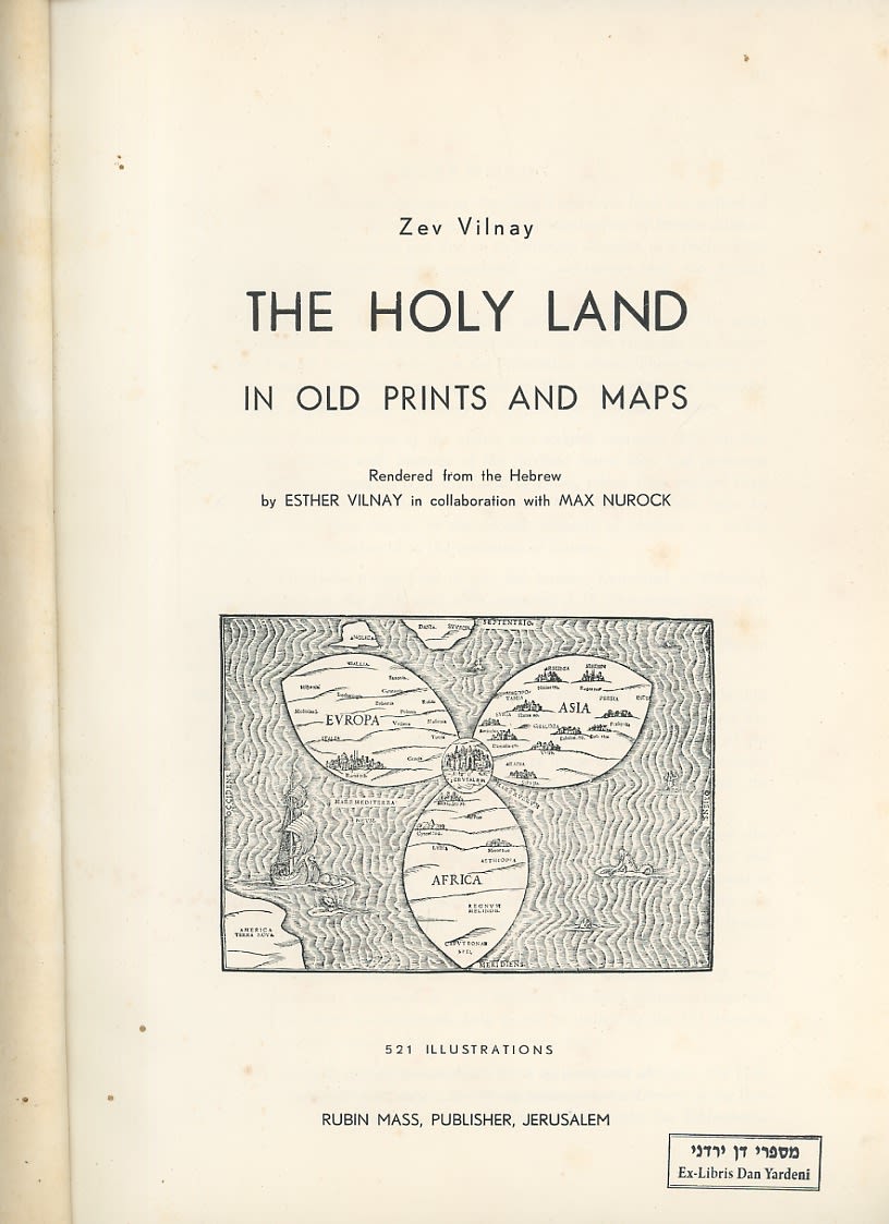
Zev Vilnay The Holy Land in Old Prints and Maps Rubin Mass, Jerusalem, 1963. 521 illustrations - Contents: I. General Survey: Foreword; Towns of the Holy Land on Egyptian and Assyrian Monuments; Designs of Towns upon Ancient Mosaics; Views in the Writings of Christian Pilgrims; The Holy Land in Ancient Christian Maps; Illustrations in Hebrew Manuscripts and Prints. II. The Illustrations: Jerusalem and Surroundings; Bethlehem and Hebron; Jericho, Jordan and the Dead Sea; The Negev and the South; Jaffa and Surroundings; Ramla and Lydda; Shechem and Samaria; Caesarea, Dor and Atlit; Haifa and Mount Carmel; Acco (Acre) and Surroundings; The Valley of Jezreel and Mount Tabor; Nazareth and Surroundings; Tiberias and the Sea of Galilee; Zefat (Safed) and Surroundings; The Valley of Hula and Jordan; Transjordan: Gerasa - Philadelphia and Petra; The Desert of Sinai and the Red Sea; Index of Place-Names.